Create Your First Project
Start adding your projects to your portfolio. Click on "Manage Projects" to get started
Thermal Drone Deer Census – Maisemore Area
Location
Maisemore, Gloucestershire
Date
Ongoing
Role
UAS Operator
Project type
Deer Census
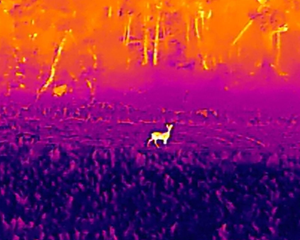
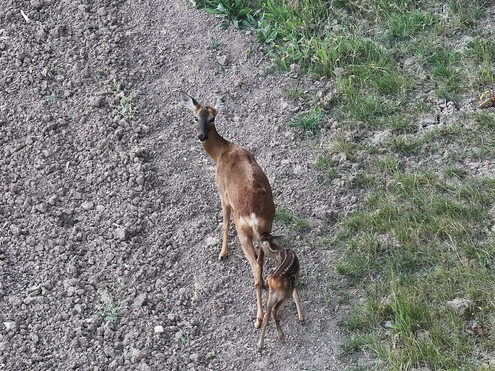
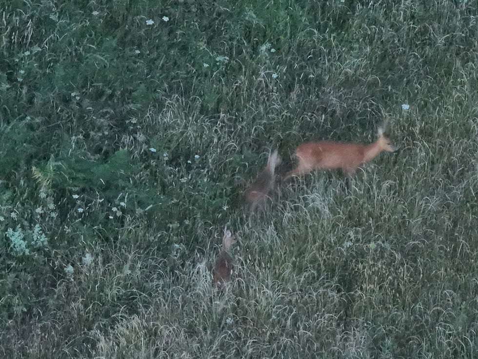
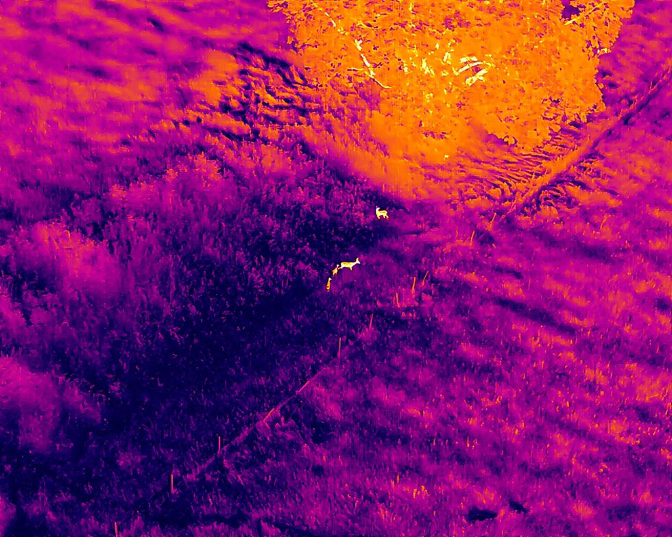
As part of our commitment to supporting effective and ethical wildlife management, we recently carried out a thermal drone deer census for a local deer manager in the Maisemore area. Using high-resolution thermal imaging technology, we conducted aerial surveys during optimal conditions to accurately detect and count deer populations across varied terrain.
This approach provides precise population data without disturbing the animals or their habitat, offering a clear picture of herd distribution and density. The insights gathered from this project will support responsible deer management strategies and help maintain ecological balance in the region.
Our thermal drone surveys are fast, non-invasive, and highly effective – ideal for landowners, conservationists, and wildlife managers looking for accurate population assessments.


